La Porte Voting District, Hubbard County, Minnesota
About
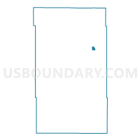
Outline

Summary
| Unique Area Identifier | 602555 |
| Name | La Porte Voting District |
| County | Hubbard County |
| State | Minnesota |
| Area (square miles) | 0.70 |
| Land Area (square miles) | 0.70 |
| Water Area (square miles) | 0.00 |
| % of Land Area | 100.00 |
| % of Water Area | 0.00 |
| Latitude of the Internal Point | 47.21481210 |
| Longtitude of the Internal Point | -94.75738930 |
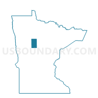
Maps

Graphs
Select a template below for downloading or customizing gragh for La Porte Voting District, Hubbard County, Minnesota